The best hikes in Zion, and the numbers behind them
Every figure on this page is the National Park Service's own published distance, elevation change and average time, not somebody's watch. Two trails that appear on most best of lists have been closed for years, and only one hike in the canyon needs a permit.
- Figures here
- The park's own
- Hikes needing a permit
- One
- Closed long term
- Two
- Longest on this list
- 9.4 miles
The best hike in Zion is not Angels Landing
Angels Landing is the famous one, and it is a fine hike if heights do not bother you and you win a permit. But it is a ridge with chains on it, and ridges with chains exist in a lot of places.
What most lists tell you to do
5.2Angels Landing, about 5.2 miles round trip by the park’s own two figures, four to five hours with the queue. Needs a permit won in a lottery. Drop offs of as much as a thousand feet on both sides. Plenty of people walk up to Scout Lookout, look at the chains and decide against them, which is a sensible thing to do.
What we would send you to do
2.2The Riverside Walk, and then keep walking straight into the river. 2.2 paved miles to the end of the path, then The Narrows begins and you go as far up as you feel like. No permit, no booking, no nerve required, and it is the thing Zion has that almost nowhere else does.
That is the honest ranking. A slot canyon you wade up, with fifteen hundred feet of sandstone leaning over you, beats a viewpoint. It is also free, needs no lottery, and you can turn round at any moment, which makes it work for a far wider range of people.
Everything below is the full picture: the park’s own numbers for every named trail, the two that have been shut for years and are still recommended elsewhere, and how to choose when you have half a day, small children or a fear of exposure.
Every named trail, with the park’s figures
Distances are round trip. Times are the National Park Service’s own averages, which are generous, and that is the right way round when you are hiking in heat. Difficulty ratings are the park’s too.
| Trail | Round trip | Climb | Park’s time | Rated | Where it starts |
|---|---|---|---|---|---|
| Weeping Rock | 0.4 mi | 98 ft | 30 min | Easy | Stop 7 |
| The Grotto Trail | 1 mi | 35 ft | 30 min | Easy | Stops 5 to 6 |
| Lower Emerald Pool | 1.2 mi | 150 ft | 1 hr | Easy | Stop 5, Zion Lodge |
| Riverside Walk | 2.2 mi | 57 ft | 1.5 hr | Easy | Stop 9, Temple of Sinawava |
| Pa’rus Trail | 3.5 mi | 50 ft | 2 hr | Easy | Stop 1 to stop 3 |
| Upper Emerald Pool | 1 mi | 200 ft | 1 hr | Moderate | From the Lower pool |
| Canyon Overlook | 1 mi | 163 ft | 1 hr | Moderate | East of the tunnel, by car |
| Kayenta Trail | 2 mi | 150 ft | 1.5 hr | Moderate | Stop 6, The Grotto |
| Middle Emerald Pools | 2.2 mi | 150 ft | 1.5 hr | Moderate | Stop 5, Zion Lodge |
| Watchman Trail | 3.3 mi | 368 ft | 2 hr | Moderate | Visitor center, stop 1 |
| Sand Bench Trail | 4 mi | 466 ft | 3 hr | Moderate | Canyon floor, November to February only |
| Scout Lookout, West Rim Trail | 4.2 mi | 1,000 ft | 3 hr | Strenuous | Stop 6, The Grotto |
| Angels Landing, beyond Scout Lookout | 1 mi | — | 1 to 2 hr | Strenuous | From Scout Lookout, permit required |
| The Narrows, via Riverside Walk | 9.4 mi | 334 ft | Up to 8 hr | Strenuous | Stop 9, Temple of Sinawava |
| Timber Creek Overlook | 1 mi | 100 ft | 1 hr | Not rated | Kolob Canyons Road |
| Taylor Creek | 5 mi | 450 ft | 3.5 hr | Not rated | Kolob Canyons Road |
| Kolob Arch, La Verkin Creek | 14 mi | 1,037 ft | 8 hr | Not rated | Kolob Canyons Road |
Two park sources, two numbers, and we are telling you which
The table above uses the park’s printed trail guide throughout. Its own Watchman Trail page gives 479 feet of climb to the overlook rather than the 368 in the guide. We have kept the guide figure so the table is internally consistent, and we are flagging the difference rather than quietly picking the one we liked.
The three Kolob trails show as not rated because the park’s guide lists them in their own section without a difficulty grade, and we are not going to assign one on its behalf. Stop numbers refer to the Zion Canyon shuttle, which is the only way up the scenic drive for most of the year. Canyon Overlook is the exception: it sits east of the tunnel and you drive to it.
Seven that are worth a chunk of your day
The Narrows, from the bottom
9.4 miles, up to 8 hours, and you can turn round whenever you like. Walk the paved Riverside Walk to its end and the trail becomes the river. No permit and no guide for this direction. Two things decide whether it is on: flow below about 70 cubic feet per second makes the wading manageable and the park closes the hike at 150, and the water sits in the upper thirties in winter, which is dry suit territory rather than a wade.
Rent boots and a stick in Springdale for around $31 to $65. Do not drink the river: there is a standing cyanobacteria advisory and filtering does not remove those toxins. Conditions and flow.
Angels Landing
About 5.2 miles all in, four to five hours with the queue, permit required. The park lists Scout Lookout at 4.2 miles round trip and 1,000 feet of climb, and the chain section beyond it as another half mile each way taking one to two hours. Add them and that is your day.
The park’s own words for the last section: exposed edges and sheer drop offs of as much as a thousand feet on each side, a few feet wide in places. Permits come from a seasonal lottery or a draw the day before, and no guide can supply one. How the lottery works.
Canyon Overlook
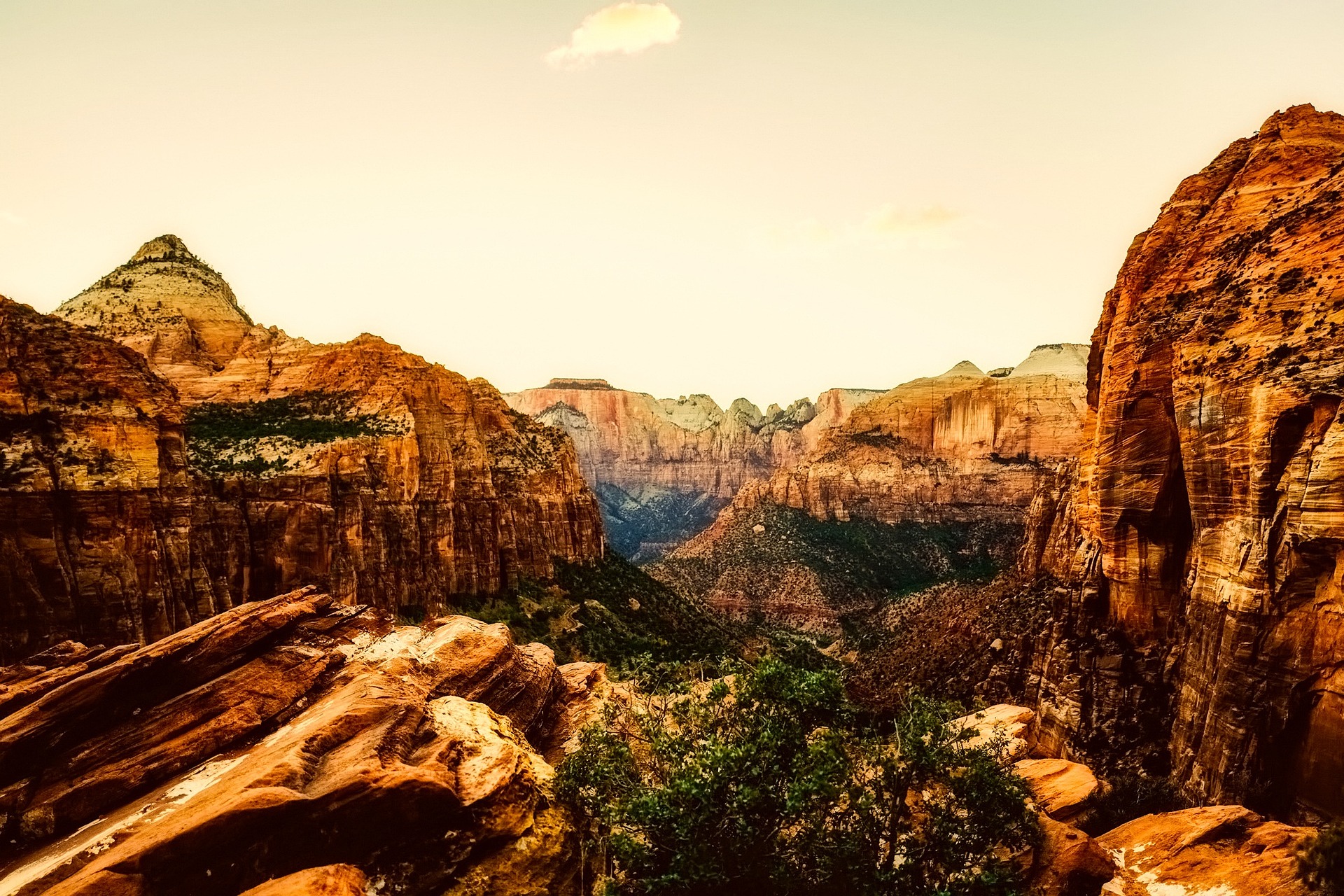
1 mile, 163 feet, an hour, and the best view per step in the park. It looks straight back down the main canyon from the east side, and it takes a fraction of the effort of the viewpoints people queue for.
Two catches. The car park is tiny and the park itself says to be prepared to try more than once, so go late in the afternoon. And it is rated moderate for a reason: handrails over rock above a slot, stairs up to eighteen inches, overhangs with four feet of clearance, and a fenced cliff at the end. Hold small hands the whole way.
Emerald Pools, with the Kayenta link
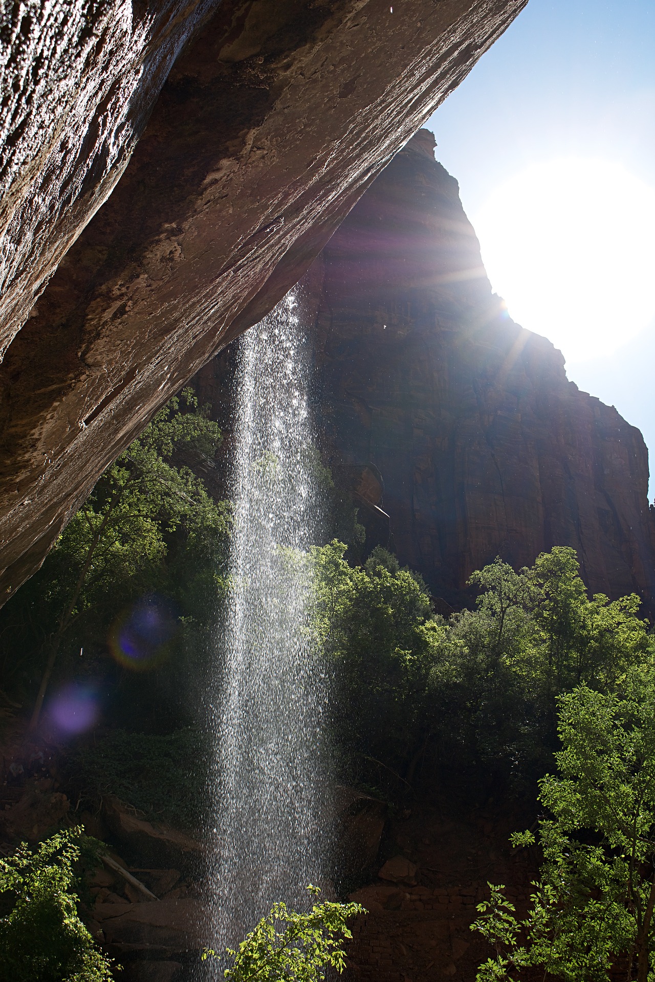
Lower Emerald is 1.2 miles, 150 feet, an hour, and about 96 percent hard concrete. It ends at a pool under an alcove with seasonal waterfalls dropping over the lip. The park calls them ephemeral, so late in a dry year there may be little water.
The better version links two shuttle stops on foot: get off at The Grotto, take the Kayenta Trail across, drop to the pools, and come out at Zion Lodge where the food is. Swimming is not permitted and the park asks you to stay out of the pools, which are a wildlife water source.
Scout Lookout on its own
4.2 miles, 1,000 feet, three hours, and no permit at all. The permit only applies beyond this point. You get the switchbacks, Walter’s Wiggles, and a view down the canyon from the top of the climb.
If the chains are the part that worries you, this is the answer rather than a consolation prize. Most of the effort and most of the view are on this side of the permit line.
Watchman Trail
3.3 miles, two hours, and it starts at the visitor center. You walk it from the shuttle stop rather than riding anywhere, which makes it the one hike you can do on arrival afternoon or after everything else has shut.
The park notes limited shade in summer, so make it early or late, and sandy uneven ground with several moderate drop offs. It can be muddy or icy in winter and in monsoon season.
And one outside the canyon
Taylor Creek in Kolob Canyons: 5 miles, 450 feet, three and a half hours. It follows a creek up a box canyon past two homesteader cabins to a large undercut alcove, and you will pass a handful of people rather than a hundred. Kolob has its own entrance at Interstate 15 exit 40, about an hour from Zion Canyon, and no shuttle. The road can close in winter for snow or ice. How it fits a three day trip.
Two famous hikes have been shut for years
They still appear on best of lists, in guidebooks and on the first page of results.
| Trail | Status | Reason |
|---|---|---|
| Hidden Canyon | Closed long term | A large rockfall. No reopening date has been given. |
| Observation Point, via the East Rim Trail from Weeping Rock | Closed long term | A large rockfall. No reopening date has been given. |
| Weeping Rock Trail itself | Open | The short trail to the alcove reopened. It is only the routes continuing above it that are shut. |
The distinction on Observation Point matters. The park’s closure list names the East Rim approach from Weeping Rock, which is the classic 8 mile climb from the canyon floor. The East Mesa Trail, which reaches the same viewpoint from a trailhead outside the canyon, is not on that list.
That is not a like for like swap. It is a drive to a remote trailhead rather than a shuttle stop, so road conditions and your vehicle both matter, and it is a very different day. If you are counting on it, check the park’s current conditions page first, because this is exactly the kind of access that changes without much notice.
Also worth knowing before you plan a big day
Group size on wilderness trails is capped at twelve people. Kolob Terrace Road and Lava Point Road generally close from autumn to spring for snow, and the Kolob Canyons Road closes frequently in winter. South Campground is shut for rehabilitation work.
Pick by what you actually have
Time, legs, nerve and season. Most best of lists assume you have all four.
| Your situation | Do this | Why |
|---|---|---|
| Half a day | Riverside Walk, then wade as far as you like | 2.2 paved miles, and the river turns it into whatever length you want. No permit, no gear needed for the first stretch. |
| One full day | Riverside Walk, Emerald Pools via Kayenta, Canyon Overlook by car in the late afternoon | About five miles of walking, the length of the canyon and the view from above it. The hour by hour version. |
| Small children | Weeping Rock, Lower Emerald Pool, Riverside Walk, Pa’rus | All short, mostly paved, and Pa’rus takes a stroller. Every age and weight limit. |
| Heights bother you | Scout Lookout, and stop there | The climb and the view without the chains. Skip Canyon Overlook too, which has real exposure for its length. |
| Wheelchair or limited mobility | Pa’rus Trail | Around 94 percent paved with the rest on hard wood decking, a maximum grade of 11.4 percent, and it runs between two shuttle stops. |
| Hot summer day | The Narrows, or anything before 9am | The river is the only genuinely cool hike in the park. Watchman and Canyon Overlook have very little shade. |
| Winter | Pa’rus, Watchman, Canyon Overlook | Low elevation and quick to thaw. Paved north facing sections hold ice into the morning, so microspikes earn their space. The river is dry suit territory. |
| You want quiet | Taylor Creek or Timber Creek Overlook, in Kolob | Separate entrance, no shuttle, a fraction of the people. Check the road in winter. |
| You want a guide | Emerald Pools, Kayenta, Riverside Walk, Watchman, Pa’rus and the Narrows to the wilderness boundary | Those are on the park’s authorized list. Guiding is not allowed in the Zion Wilderness at all. The full list and the group size tiers. |
The single biggest thing you can do for any hike here
Be on the first canyon shuttle at 7:00am. The Grotto stop fills early with Angels Landing permit holders, the paved trails fill by mid morning, and the canyon heats up fast. Starting an hour late costs you two.
Common questions about hiking in Zion
What is the best hike in Zion National Park?
For most visitors, The Narrows from the bottom. You walk the paved 2.2 mile Riverside Walk and then continue up the river as far as you want. It needs no permit, no booking and no head for heights, and it is the thing Zion has that almost nowhere else does.
What is the hardest hike in Zion?
Of the day hikes, The Narrows, which the park lists at 9.4 miles round trip and up to eight hours of walking in a river. Angels Landing is shorter and less tiring but far more exposed, with drop offs of as much as a thousand feet on each side.
Which hikes in Zion need a permit?
Only one in the main canyon: Angels Landing beyond Scout Lookout. Everything else on this page, including The Narrows from the bottom, needs no permit at all. Technical canyons and overnight trips are separate permit systems.
Is Observation Point open in Zion?
The East Rim Trail approach from Weeping Rock, which is the classic route, is closed long term after a large rockfall and has no reopening date. The East Mesa Trail to the same viewpoint is not on the park's closure list, but it starts from a remote trailhead outside the canyon rather than a shuttle stop.
What are the easiest hikes in Zion?
Weeping Rock at 0.4 miles, The Grotto Trail at 1 mile, Lower Emerald Pool at 1.2 miles, the Riverside Walk at 2.2 miles, and the Pa'rus Trail at 3.5 miles. All are rated easy by the park and most are paved.
Can you hike Zion without a car?
Yes. Every trail in this list except Canyon Overlook and the Kolob trails starts at a free shuttle stop, and the Springdale town shuttle connects your hotel to the park entrance. Canyon Overlook sits east of the tunnel and needs a vehicle.
How long does Angels Landing take?
Four to five hours including the queue on the chains. The park lists Scout Lookout at 4.2 miles round trip with 1,000 feet of climb and around three hours, and the Angels Landing section beyond it as half a mile each way taking one to two hours.
Which Zion trail is wheelchair accessible?
The Pa'rus Trail. It is around 94 percent paved with the remainder on hard wood decking, has a maximum grade of 11.4 percent, and runs between the visitor center and Canyon Junction. It is also the only Zion trail that allows bicycles and leashed pets.
Most of this needs no booking at all
Zion is a self sufficient park. Where a guide genuinely adds something is cold water, technical ground and first light, and those pages say so plainly.
Also useful: the shuttle timetable, Narrows conditions and the permit lottery.
One hike here needs a permit. The rest just need an early start.
Check shuttle times