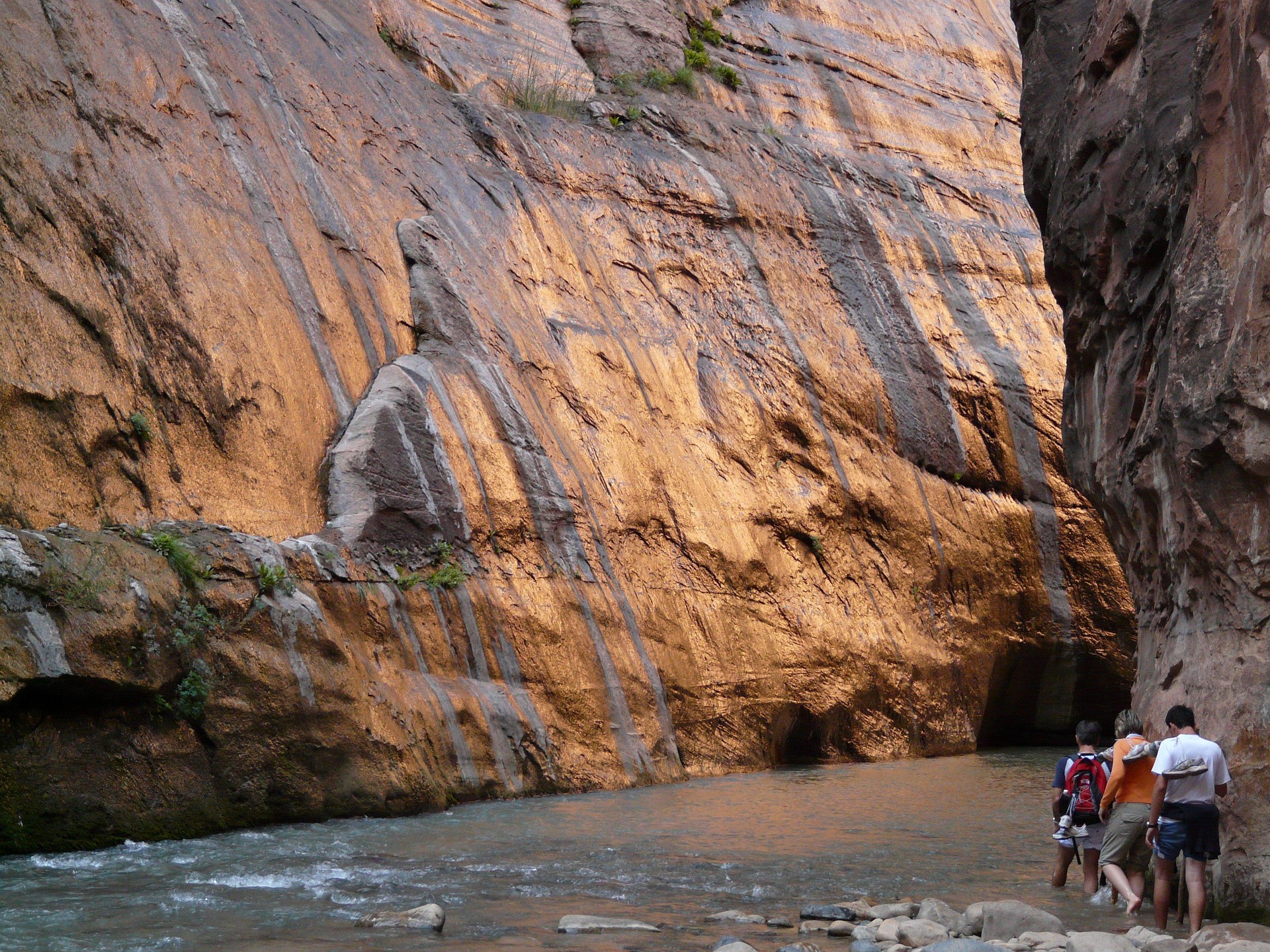
The Narrows: conditions and permits
One number on a gauge decides whether this hike happens. Everything else on this page is downstream of it.
- Bottom up permit
- None needed
- Closed above
- 150 cubic feet per second
- Top down
- Permit required, always
- Drinking the water
- Never
Cubic feet per second decides your day
The Narrows is the one hike in Zion where a gauge reading determines whether you go at all. The thresholds are firm and the park applies them without discretion.
| Flow | What it means on the ground |
|---|---|
| Below 70 cfs | Moderately difficult. Crossings around knee deep. Normal summer and autumn conditions and what most photographs show. |
| Above 70 cfs | Challenging. Crossings to mid thigh. Noticeably harder work, a real push in the current, and slower going than you planned. |
| Over 150 cfs | Closed to all travel. No exceptions, guided or otherwise. |
Spring snowmelt pushes the river over 150 regularly. It is the most common reason a Narrows plan falls apart.
Check the flow the morning you intend to go, not the week before. It moves fast with weather and with snowmelt, and a reading from three days ago tells you very little. Always have a second plan for that morning.
Bottom up from the Temple of Sinawava as far as Big Spring needs no permit. Big Spring is the mandatory turnaround for day hikers; no travel is permitted upstream of it without a top down permit.
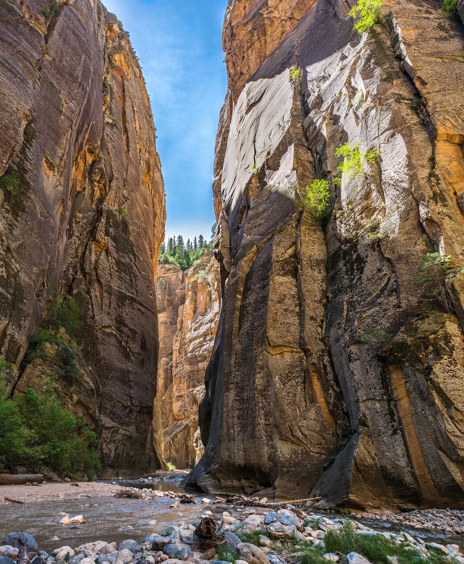
Do not drink it, and do not filter it
Toxic cyanobacteria in the Virgin River
Park scientists have identified toxic cyanobacteria in still and flowing water in the park, including the Virgin River. The park’s guidance is direct: never drink from rivers, streams or other water bodies where cyanobacteria have been found. Filtering does not remove the toxins.
Carry every drop you intend to drink. Keep your head out of the water. Do not let children drink or swallow. Wash your hands before eating, and rinse a dog off afterwards if you have one nearby, though dogs are not permitted on this hike anyway.
Advisories change through the season. Check the park’s current conditions before you go rather than assuming this page is current, which is exactly why every page here carries a verification date.
Water temperature is the other half of the problem. In winter the river runs in the upper thirties and low forties, which is genuinely dangerous without a drysuit that fits. See gear rental in Springdale for what each package covers and when.
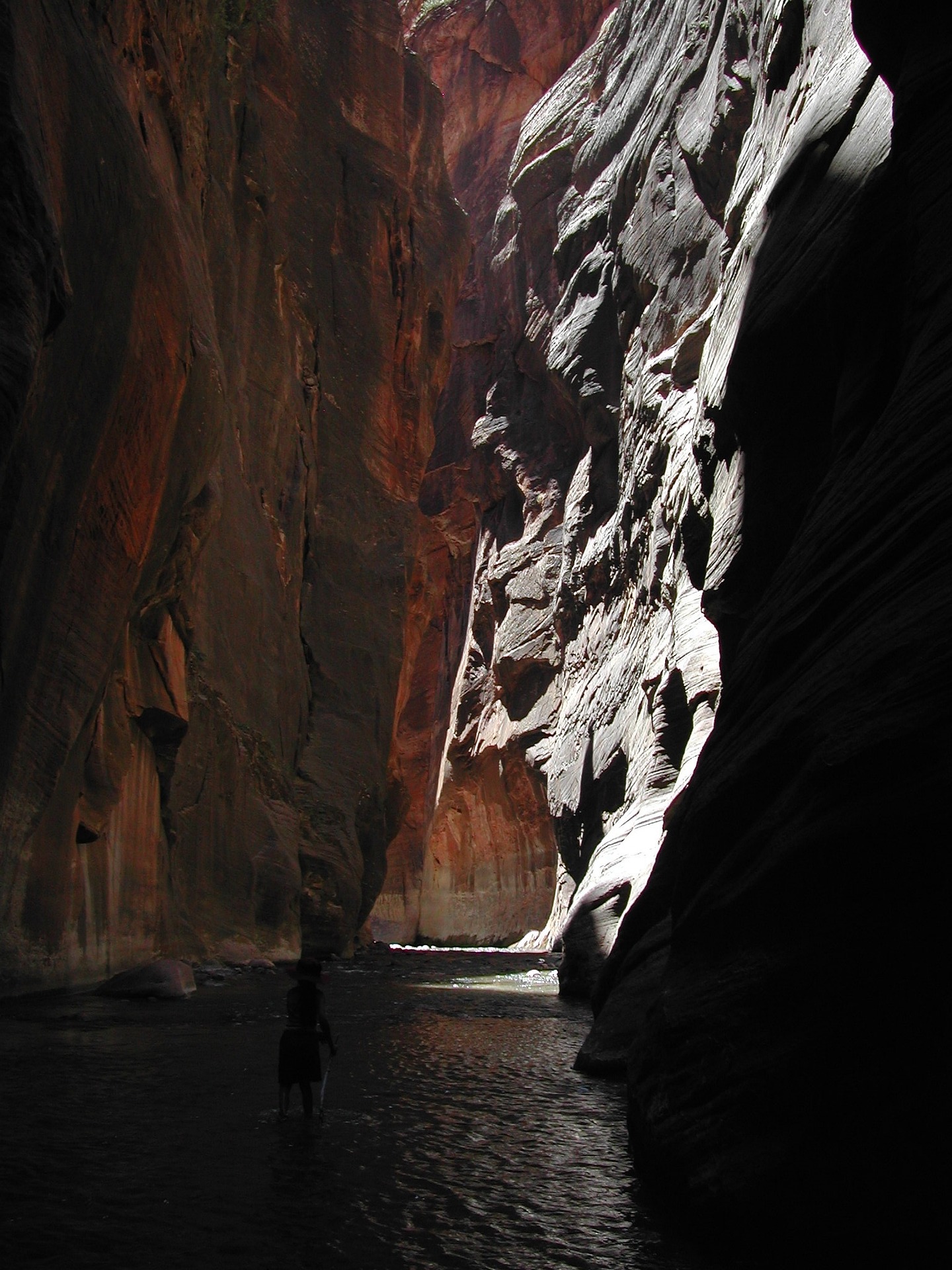
Season by season, honestly
| Season | Conditions | Gear | Reliability |
|---|---|---|---|
| March to May | Snowmelt. Frequent closures above 150 cfs. Cold water throughout. | Drysuit or bibs | Poor. Have a backup plan. |
| June to mid July | Flows drop and water warms. The canyon stays shaded and cool while the rim bakes. | Footwear package | Excellent |
| Mid July to mid Sept | Monsoon. Flash flood risk on storm days and the park closes the hike when warranted. | Footwear package | Good on settled days, check daily |
| Late Sept to October | Stable weather, low clear water, gold cottonwoods at the canyon mouth. | Footwear, bibs late on | The best of the year |
| November to February | Water in the upper thirties and low forties. Quiet, beautiful and serious. | Full drysuit, no exceptions | Reliable if properly equipped |
If you can choose your week, take the second half of September or the first half of October. Lowest closure risk, most comfortable water, best light in the canyon. It is also the window everyone else wants, so book gear and lodging ahead.
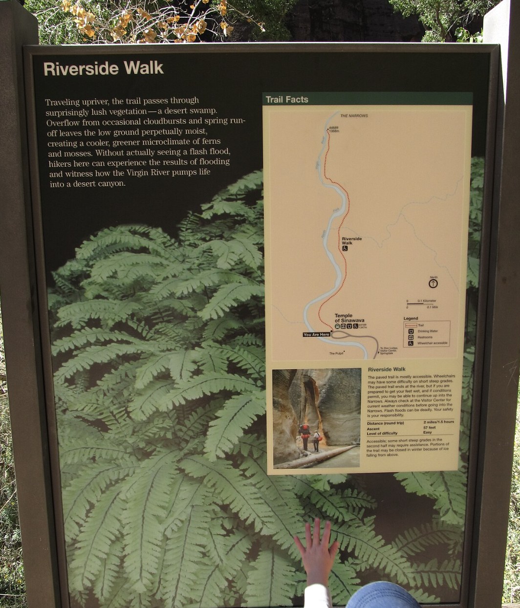
The through hike, and its permit
Starting at Chamberlain’s Ranch outside the park and walking the whole canyon down to the Temple of Sinawava. A completely different undertaking from the bottom up day hike.
16 to 18 miles
The park describes it as a 16 mile through hike. Independent route guides consistently measure closer to 18, with about fifteen hundred feet of gradual descent. Plan for the longer number.
One day or two
Ten to thirteen hours as a single day push. Twelve to eighteen hours of walking over two days with overnight gear. Twelve designated campsites exist for overnight parties.
Always a permit
Required for every top down trip, day or overnight. Single day through hikes run through the park’s canyoneering permit system. Winter day permits are not issued, because there is not enough daylight.
Chamberlain’s Ranch sits roughly seventeen miles up a winding dirt road off Route 9. You either arrange your own vehicle shuttle or hire one of the Springdale outfitters who run that service.
Do not underestimate it because it is called a hike
Sixteen to eighteen miles of river walking on uneven cobble, committed once you start, with no exit until the bottom. There is no rope work, which fools people. Cold water, a rolled ankle or a slow partner turns it into a long night. Plan around the slowest person in your group.
Thinking about a guide instead? Read what guides can and cannot do in The Narrows first, because the answer is more limited than most operators lead with.
Common questions about Narrows conditions
Do I need a permit to hike The Narrows?
Not for the bottom up day hike from the Temple of Sinawava as far as Big Spring. You do need one for the top down through hike from Chamberlain's Ranch, whether you do it in a day or overnight.
When is The Narrows closed?
Whenever the Virgin River runs above 150 cubic feet per second, which happens most often during spring snowmelt, and during flash flood conditions in monsoon season.
What flow rate is comfortable?
Below 70 cfs is moderately difficult with crossings around knee deep. Above 70 it becomes challenging with crossings to mid thigh and noticeably harder work.
Can I drink the river water if I filter it?
No. Toxic cyanobacteria have been found in the Virgin River and filtering does not remove the toxins. Carry all the water you intend to drink.
How cold is the water?
In winter it runs in the upper thirties and low forties, which requires a properly fitted drysuit. Summer and early autumn are comfortable with neoprene socks.
How long is the top down Narrows?
The park describes it as 16 miles. Independent route guides measure closer to 18. Ten to thirteen hours as a day hike, or twelve to eighteen hours of walking spread over two days.
How far can I go without a permit?
Big Spring, about five miles up from the Temple of Sinawava, is the mandatory turnaround for day hikers. No travel is permitted upstream of it without a top down permit.
Check the flow, then go
Conditions decide this hike. Check them the morning of, and keep a second plan ready.
Also useful: the shuttle to the trailhead, the planning guide, and the best time to visit.
Check the flow rate the morning you go, not the week before.
Gear and packages